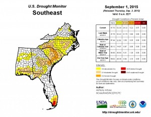
The latest Drought Monitor was released today and shows that the areas of the highest category of drought were reduced this week due to increases in rain through the driest areas.
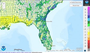
Most of the improvements occurred before the passage of the remains of TS Erika, which occurred after the September 1 cut-off, so more improvements may be seen in next week’s map. The precipitation departure map below shows the rainfall departure from normal over the last seven days, which includes the rain from Erika.

