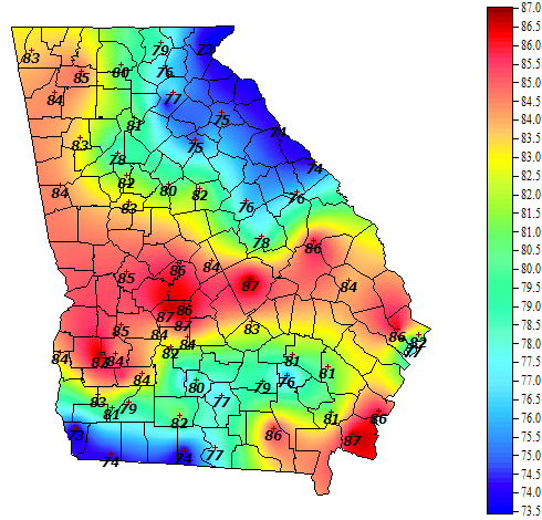
Today most of northeast Georgia is experiencing what natives often call “the wedge,” a shallow layer of cold air that moves down into the state along the east side of the Appalachian Mountains. The official description of this phenomenon is “cold air damming” because the mountains act as a natural dam that restricts the flow of the colder air and directs it south into Georgia from the northeast. You can see the cool conditions in the map below from the Georgia Weather Network. The cold conditions in south GA are due to an area of clouds and rain occurring over some of the drier areas of the state, which I suspect is making farmers there happy.
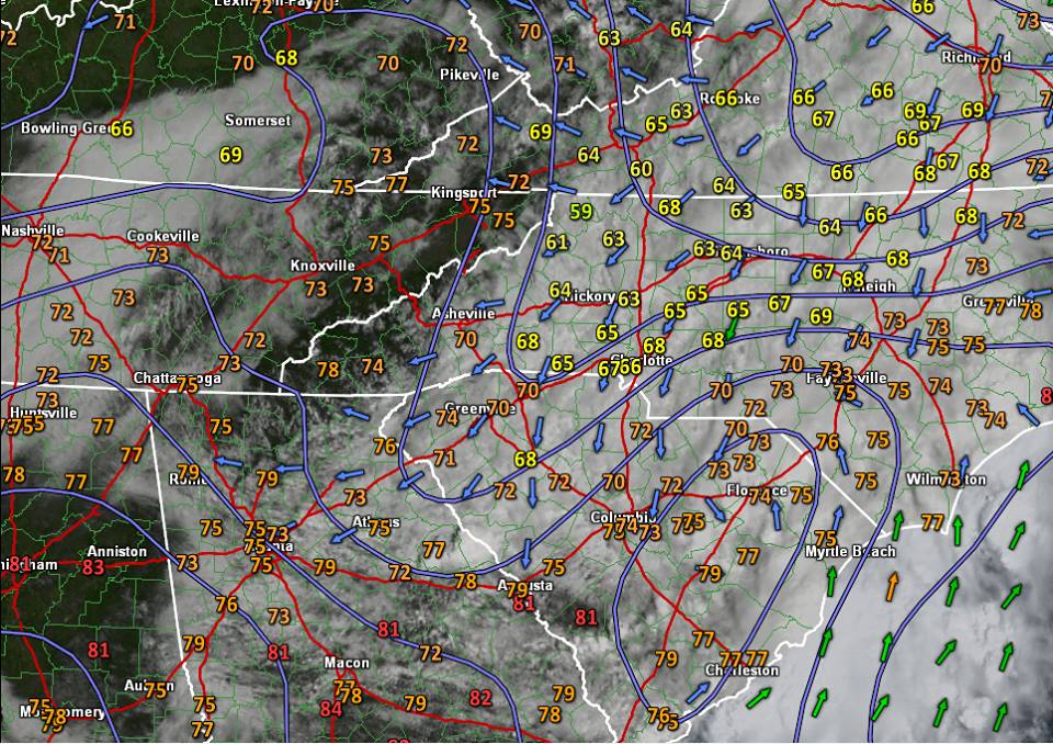
Jared Rackley, a graduate student at the University of Georgia, posted this diagram describing the flow of air on his Facebook page:
For an explanation of the wedge, you can visit AthensGAWeather. Although it is not a factor today, the wedge sometimes contributes to reduced severe weather in NE Georgia compared to areas farther west in the state. It can also help set up ice storms in the winter months.