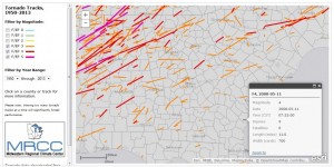
Here is a neat tool for looking at historical tornado tracks across the country. It is run by the Midwestern Climate Center using the official Storm Prediction Center database and mapped onto an interactive map. You can zoom into your county and filter by date and Fujita scale of tornado. It defaults to F3 and larger tornadoes so you might have to pick a different category to find the smaller tornadoes in your area. Once you see your county on the map, you can click on it to display all tracks in your county, or you can click on an individual track (as I did below) to see details on a particular storm. You can find the tracker by going to https://mrcc.isws.illinois.edu/gismaps/cntytorn.htm.
