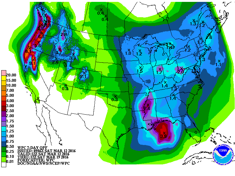
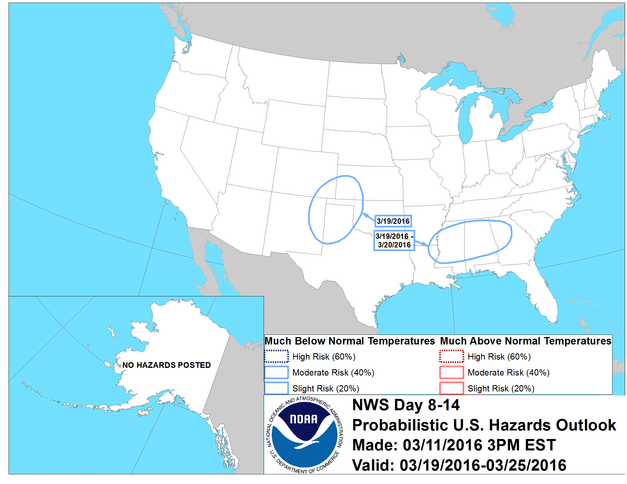
The 7-day QPF shows that the western portion of the Southeast should get the most rain in the next week. This will occur in two batches. The first event is a continuation of the rainy conditions that have plagued Louisiana, Arkansas and Mississippi this week in association with a cut-off low that is moving very slowly through the area. The second batch should come on Thursday and Friday as a new system approaches. In between weather should be dry. Looking down the road, rainy conditions are likely to continue for the next two weeks, but we expect a return to cooler temperatures (and perhaps well below normal temperatures) near the end of the 2-week period.