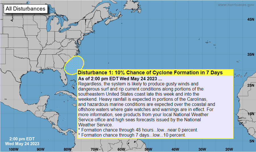
Many of our weekends this spring have been wet, and this coming holiday weekend is sadly no exception for the East Coast. A coastal low is predicted to form just off the coast of South Carolina and spin around for much of the weekend. That will bring rain to coastal areas over the weekend and that rain could spread inland with the counter-clockwise circulation as well. The National Hurricane Center has listed a 10% of becoming a named storm just because the ocean there is so warm due to the Gulf Stream, and that can sometimes cause storms to develop tropical characteristics. If it does get a name, it would become “Arlene.” The Weather Channel has a good discussion and video about the weekend rain here. Fortunately, the worst effects would be Saturday into Sunday and by later in the long weekend, things should be clearing up as the storm moves off to the northeast. The rain will start first in Florida as the storm begins to form and will move up the coast along with the low.