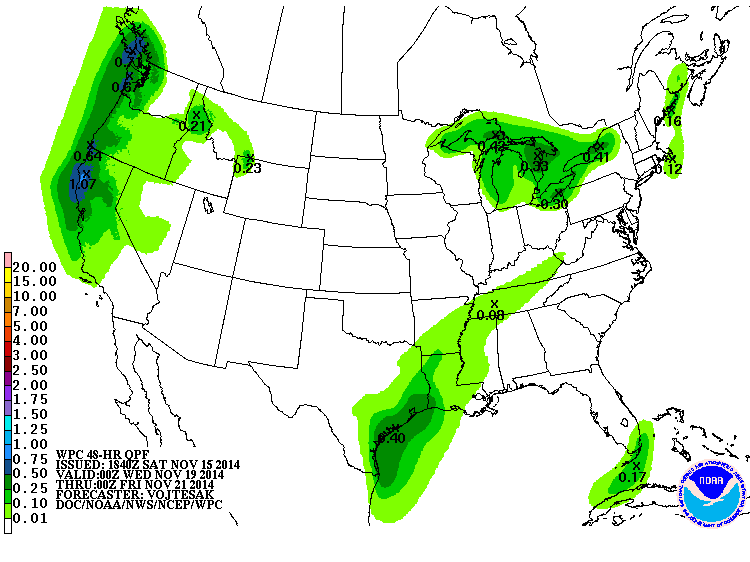
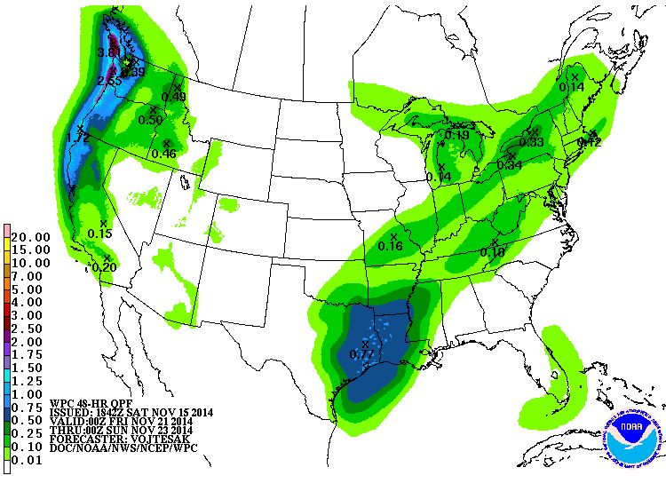
The cool conditions continue for at least the next week. Rain is expected to move into the area on Sunday night and last through Monday, bringing up to 1.5 inches to some areas. After that, even colder air moves into the state, with the possibility of breaking record low maximum temperatures on Tuesday and low temperatures on Tuesday and Wednesday. Many areas of the state have already experienced a hard freeze, so the National Weather Service has stopped issuing freeze warnings for those areas. Once this system passes through on Monday, it should be dry across most of the Southeast until late next week.