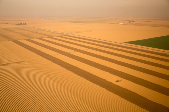
As drought has become more of a way of life in the western US, wise use of limited water has become increasingly important. Water tables have dropped dramatically in some areas because of heavy pumping of groundwater for irrigation. But it is not always possible to get documentation of exactly how much is being used. Now scientists have a new way to determine water use using satellites to identify crops from the air, determine their stage and calculate their evapotranspiration using known characteristics of each crop along with local weather data. NPR has an interesting story about how water managers are starting to use this technique to look for water-guzzling farms in their management areas so they can enforce water use. You can read more at https://www.npr.org/2021/10/18/1037371060/satellites-reveal-the-secrets-of-water-guzzling-farms-in-california.