The content on this page is retained only for recordkeeping, historical reference, or research. These materials are preserved in their original form and may not meet current WCAG 2.1 AA accessibility standards.
These archived materials are not required to be remediated. However, we remain committed to equitable access. If you need an accessible version of any archived item to participate in our current programs and services, we will provide one when feasible upon request at caesweb@uga.edu.
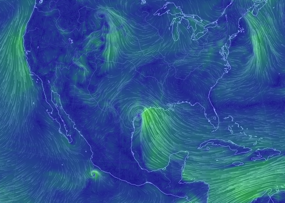
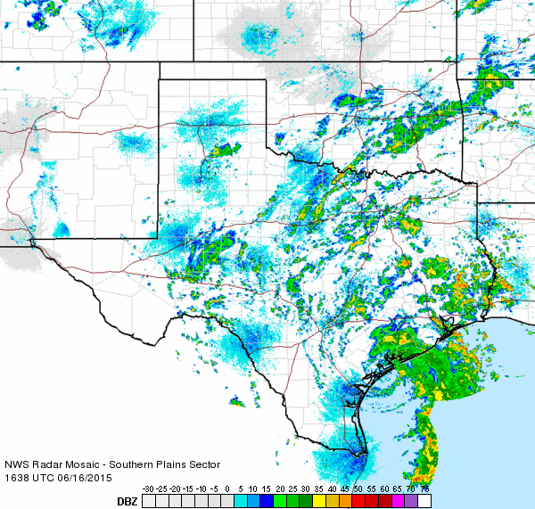
The center of TS Bill has hit the coast of Texas near Matagorda Island TX. Rain is extending far outside the immediate center of circulation and on radar you can see bands as far north as eastern OK and as far east as the bootheel of Louisiana.