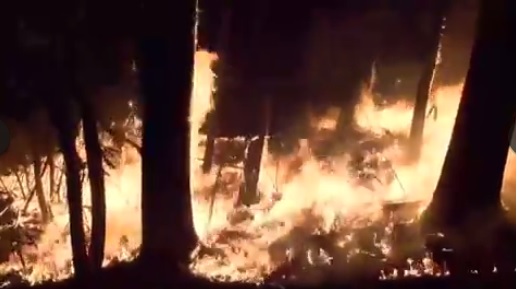
Drovers Newsletter published a story this week on the use of prescribed fire to manage grazing land. They note that “when used correctly, fire can improve habitat for a variety of wildlife species, forage for cattle, and conditions for oak regeneration among other things.” But you need to consider a variety of factors carefully well before you start lighting the fires. You can read their article here.
There are a number of places that you can go to get information on fire weather conditions. The National Weather Service provides them at their station web sites. For example, here is the link for the Peachtree City office near Atlanta: https://www.weather.gov/ffc/firewx. You can substitute your own 3-letter airport designator for FFC, which stands for Falcon Field in Peachtree City, or go to the main Weather.gov website and click on the map to get to your local office. The site contains information on a number of parameters like wind and humidity that you will need to determine if conditions are right. The Georgia Forestry Commission also has a web site for fire weather at https://weather.gfc.state.ga.us/. Most other states will have similar resources available. And don’t forget to follow all the regulations regarding permits and control when you decide a prescribed burn is necessary!