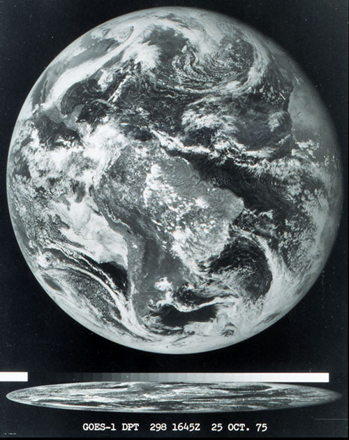
On March 1, 2022, NOAA’s new geostationary satellite was successfully launched into space. This satellite, currently known as GOES-T, will move into a high orbit 22,000 miles above the surface that moves around the earth at the same rate that the earth rotates, which allows the satellite to continually look at the same part of the globe. Eventually this satellite will replace the current GOES-17, which is stationed over the western US and is currently having operational issues. The new satellite, which will become GOES-18, has a lot of new capabilities that will improve our ability to forecast as well as monitor forest fires and atmospheric rivers as well as other improvements. You can read more about this satellite at CNN here.