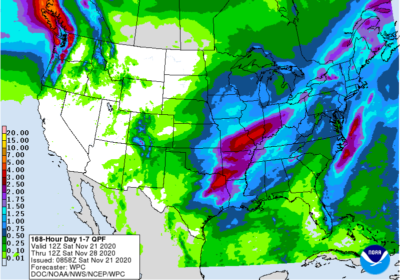
The latest 7 day QPF map shows that most of the Southeast will be quite dry this week, with the wettest areas on the east coast of Florida and up along the East Coast as well as in AL and in northern GA. The wettest period will be Wednesday through Thursday as a cold front pushes through the area, but it should not affect travel much because you are all staying home, right? Temperatures will be relatively mild, but another front at the end of the week will usher colder air into the region, bringing frost to the widest area yet this year. Winter is coming! The tropics remain quiet, so we may have seen the last tropical activity for the year, but it is still not impossible that a tropical or subtropical storm could form along one of the cold fronts dying over the ocean.