The content on this page is retained only for recordkeeping, historical reference, or research. These materials are preserved in their original form and may not meet current WCAG 2.1 AA accessibility standards.
These archived materials are not required to be remediated. However, we remain committed to equitable access. If you need an accessible version of any archived item to participate in our current programs and services, we will provide one when feasible upon request at caesweb@uga.edu.
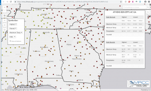
The Midwestern Regional Climate Center has a new online tool based on GIS that allows you to find record temperature and precipitation values for each station in the US. As far as I can tell, it does not included threaded records like the long combined city/airport stations in major cities, but does include the most recent station. You can access the map tool at https://mrcc.illinois.edu/gismaps/extremes.htm and read more about it here.