The content on this page is retained only for recordkeeping, historical reference, or research. These materials are preserved in their original form and may not meet current WCAG 2.1 AA accessibility standards.
These archived materials are not required to be remediated. However, we remain committed to equitable access. If you need an accessible version of any archived item to participate in our current programs and services, we will provide one when feasible upon request at caesweb@uga.edu.
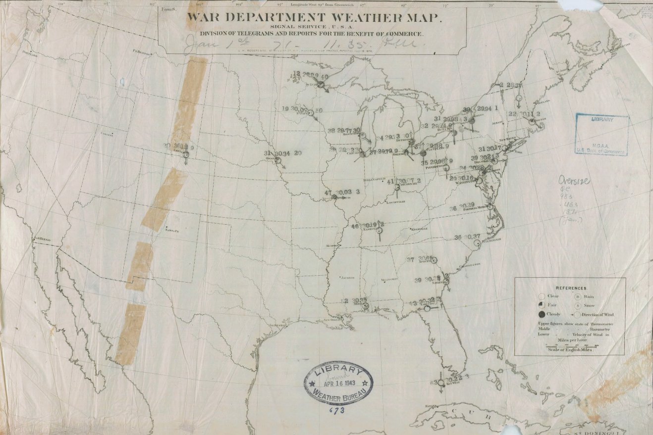
Those of you who like history might be interested in this story about the first weather map produced. It was put together on January 1, 1871, after the Army Signal Service started taking observations in February 1870. There were only a few stations back then, and none in the west, so the detail was very limited, but over time more observations were added. You can read more about it here. Thanks to “This Day in Weather History” on Facebook and Twitter for pointing it up!