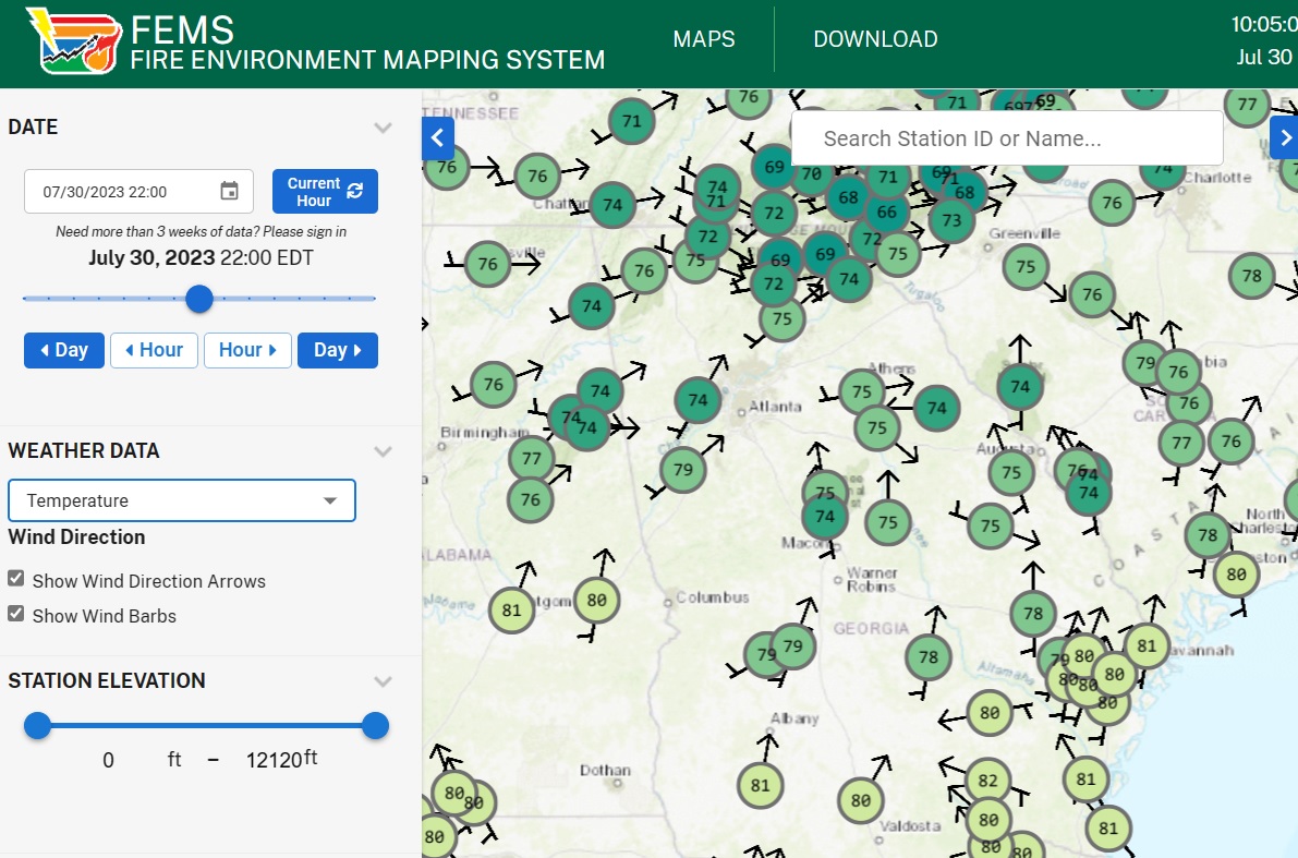
I spent last week in Davenport, Iowa, attending the annual meeting of US mesonet operators. We learned a lot about the operations of other mesonets in states around the country and shared tips on funding, instrumentation, web access, and crew safety. We also learned about new equipment and new networks that are coming online. One of the things I learned was that there is another online network of weather data available from the US Forest Service’s RAWS stations. I think RAWS stands for Remote Automated Weather Station. Most of these stations are in pretty remote places where other weather information is hard to come by.
The stations measure temperature, relative humidity, precipitation, solar radiation, and wind speed and direction, including gusts. While they are designed for forecasting for controlled burns and wildfires, farmers might also find this information for determining whether to spray or do a controlled burn in their woodlots or on fields. You can use the map to zoom in on your location to see if there is a station closer to you than other weather stations. The website is located at FEMS 1.0 (usda.gov). You can download data from the site in tabular form; this could be put into a spreadsheet to calculate total precip or solar radiation over a period of time.