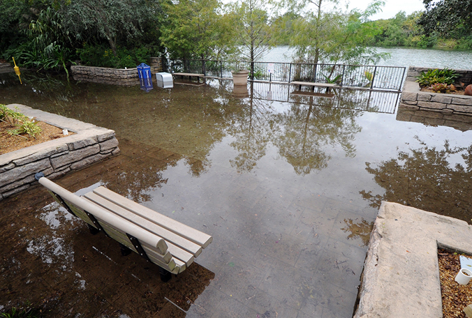
If you live in an area that is prone to flooding rains (which pretty much includes all of the Southeast), you may have looked at FEMA flood maps to see if your property falls within a flood plain. This is something many people do in hindsight, such as after a big flood event like the Atlanta floods of 2009 or one of the hurricanes like Matthew that dumped feet of rain on parts of the region. The creek in my backyard shows up in the FEMA maps, for example, but my house is well out of the 500-year flood plain designation, which gives me some comfort.
However, a recent study shows that FEMA maps may underestimate the risk of flooding because of the way they are made and how they are not able to take into account changes in land use such as paving over land when new houses and commercial centers are built. You can read more about this in the Miami Herald at https://www.miamiherald.com/news/local/environment/article204971334.html.
The Herald also published a related story about flood insurance risks. Even if you are not in a designated flood plain, you may benefit from buying flood insurance, since flooding can occur outside of the highest risk areas. That story is at https://www.miamiherald.com/news/weather/hurricane/article203631769.html.