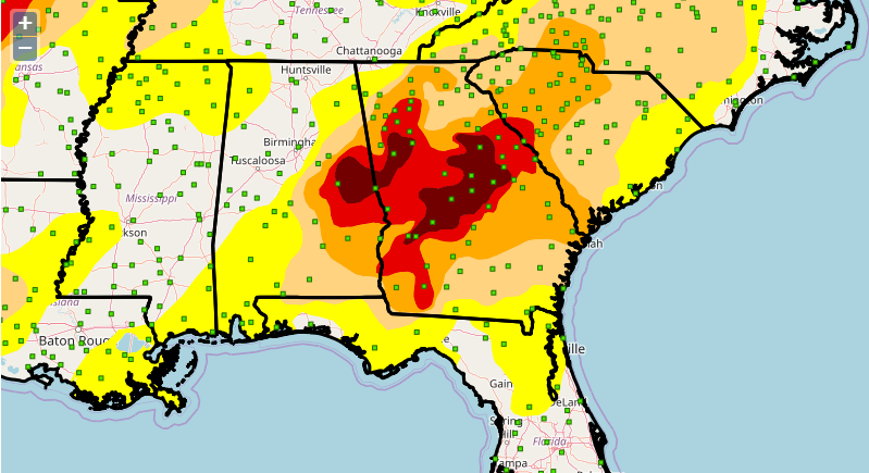
The U. S. Drought Risk Atlas from the National Drought Mitigation Center is an online resource that allows decision-makers to determine how drought has affected their community in the past and how frequently it occurs. The interactive map format allows you to search by station or by latitude/longitude or on a map and allows you to look at several different drought parameters. You can find it at https://droughtatlas.unl.edu/Home.aspx. Note that there is also a help section to assist you in using the atlas in the list of links.