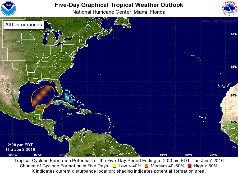
Early indications in long-term weather forecast models indicate that there is a pretty good chance of a tropical system developing in the Gulf of Mexico early next week and moving across the Florida panhandle by Tuesday. If this system does develop and reach tropical storm strength, it would be called Colin. Since it is almost a week out, forecasts are going to change and the storm could not develop at all or at least not reach tropical storm level, but if you have vacation or work in peninsular Florida next week, you are going to want to keep an eye on the forecasts to see the latest updates.
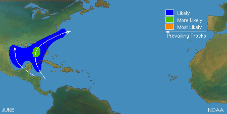
The latest outlook from the National Hurricane Center gives it a 40 percent chance of development within five days. It is interesting to note that this is right where you would expect development to occur based on climatology. You can follow along on the latest forecast thoughts at https://www.spaghettimodels.com but keep in mind the limitations of a steady diet of “spaghetti” as described by Dr. Marshall Shepherd of UGA in his Forbes.com blog post last week.
You can read a lot more about this on the WunderBlog at https://www.wunderground.com/news/tropical-disturbance-florida-heavy-rain-jun2016#prclt-4icQ1Bm0.