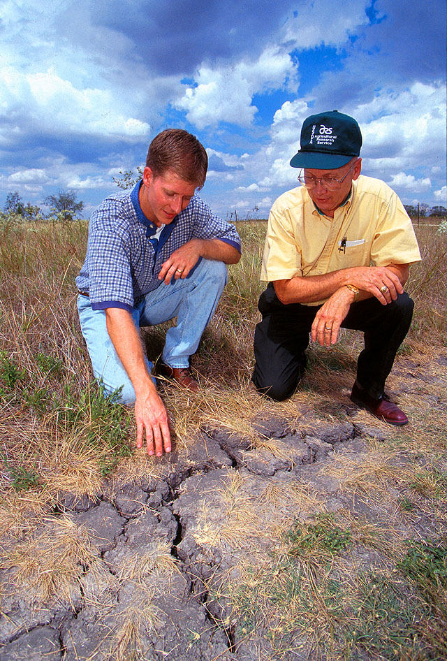
I’m attending a virtual conference on flash drought this week, and one of the things we have discussed so far is the difficulty in identifying where drought conditions are occurring, especially when they are just beginning to be felt. The current network of weather stations, even when supplemented with entries in the Drought Impact Reporter and other sites, really doesn’t capture the full complexity of the rainfall pattern that may occur in spotty showers. But scientists are starting to mine social media, especially Twitter, to find additional information on droughts that farmers and extension agents are tweeting out to their friends. If you tweet out pictures of dust coming from your plowing or other signs of incipient drought, your tweets may be captured in the future to give Drought Monitor authors additional information about where the driest conditions are. You can read more at AgWeb here.