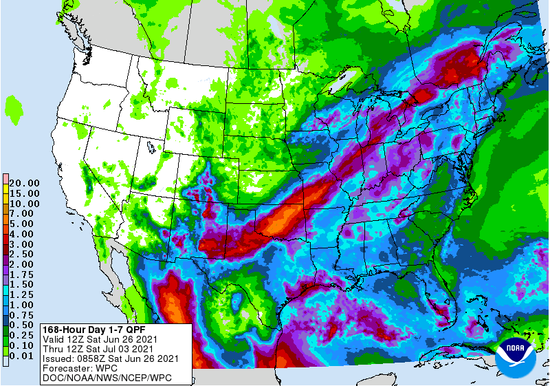
It’s going to be a very nice week coming up! While we will get more humid as air from the Gulf of Mexico and the Atlantic flows back into the area, temperatures will remain mild with no big heat events coming, unlike the West. We are likely to see some daily afternoon showers and thunderstorms that pop up with the daily heating, but nothing widespread. South Florida is back into its usually rainy pattern, but most of the rest of the region should see less than an inch overall, although it will be hit or miss with the showery weather. By the end of the week we could see a front start to bring more organized rain into the region from the west. The tropics are quiet now, nothing to watch there at this point.