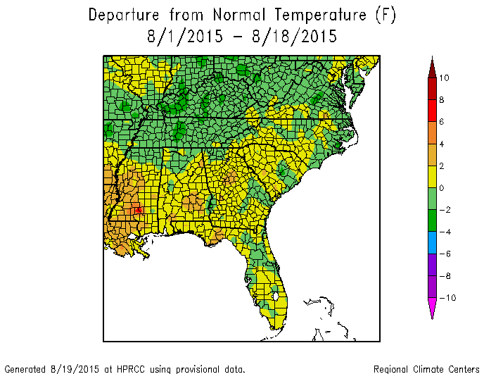
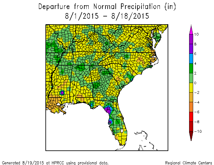
It’s just past halfway through August. So far for the month, most of the Southeast is running about a degree above normal, although there are areas with below normal temperatures. Precipitation is highest in Florida followed by Georgia and then Alabama. The Carolinas are the driest part of the Southeast and that is where drought has expanded in the last few weeks. These maps as usual are from the High Plains Regional Climate Center at https://www.hprcc.unl.edu/maps/current/.
The outlook for the rest of the month is for wet conditions to continue for the next couple of days before warmer and drier than normal conditions set in for the next few weeks. This will be a relief to farmers who are starting to harvest crops and need drier fields for getting their equipment in.