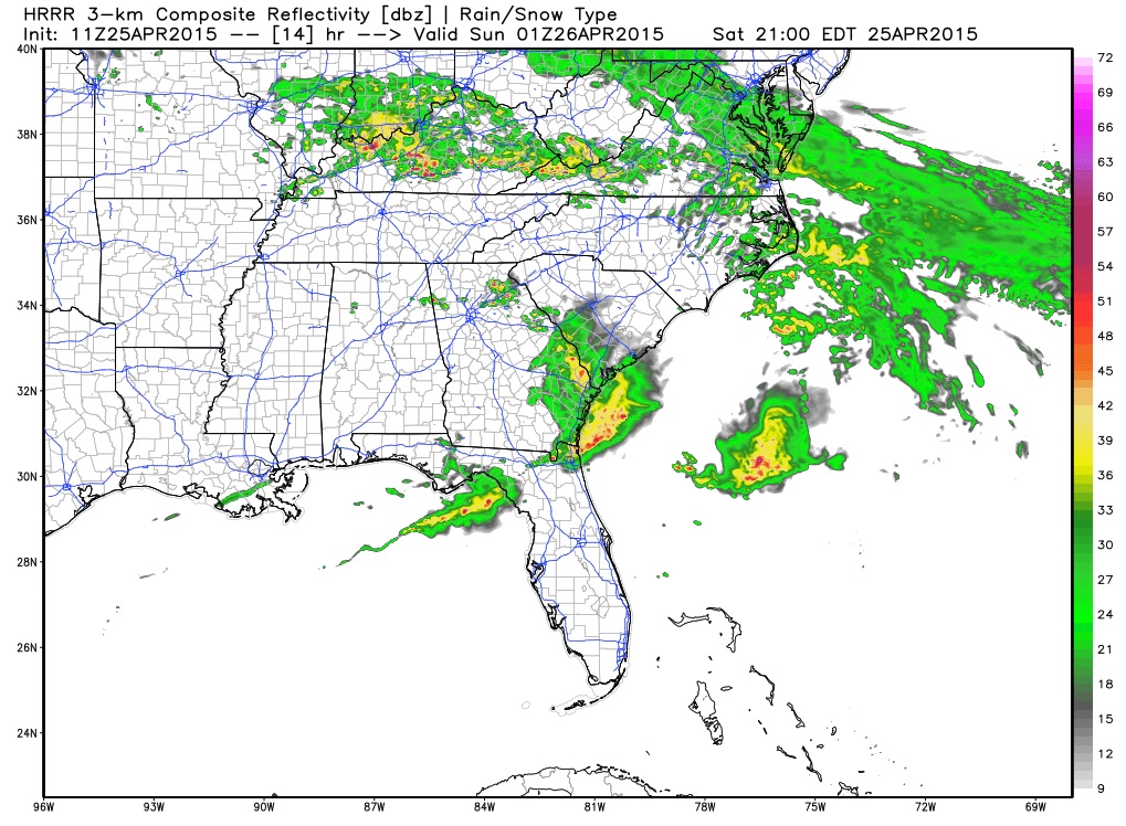
If you watch television weather, you may have noticed a product that shows simulated radar maps for up to 15 hours ahead of time. These are based on forecast models and can help you plan outdoor activities that are sensitive to rainfall. You can get these animated maps for yourself at WeatherBELL at https://weather.graphics/hrrr/hrrr_gif.php.
The map below shows the rainfall simulation for tonight. You can see the cluster of individual cells near Athens, GA, for example, that is related to the chance for isolated severe weather. Of course, this is a forecast so the actual locations of the cells may vary from what is depicted in the map, but the maps are very useful for watching weather progress across the region.