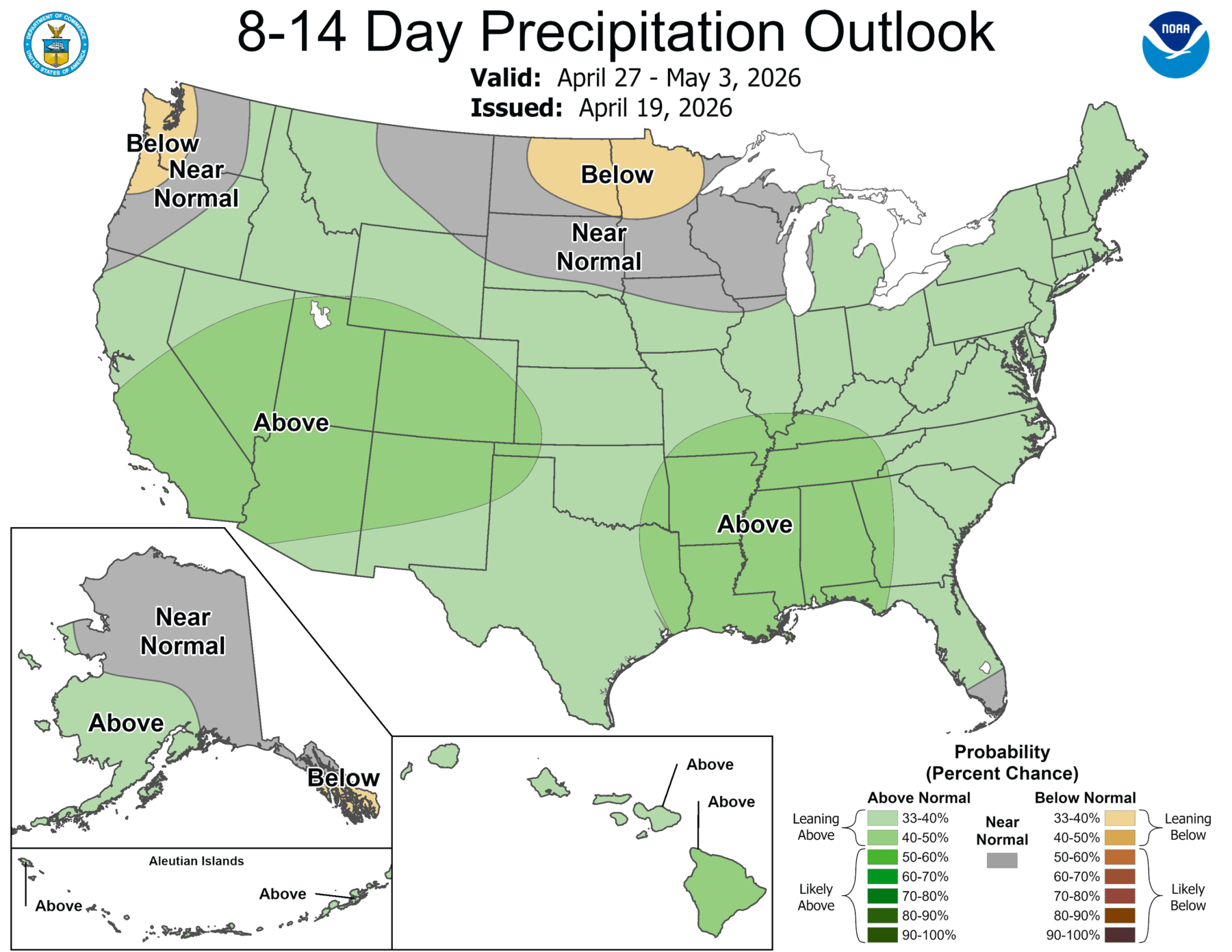
After a very long dry period for most of the region, including a few mostly meager showers this morning with the cold front that passed through the region, we are finally starting to see a change in the weather pattern by the end of this week. While it will stay dry through Friday, on Saturday a rain system will move into Alabama, dropping the first significant rain in a long time. It will move into Georgia by early morning on Saturday and then progress farther to the east, bringing good rain to a lot of the region. Most of the rain shown on the map below will occur Thursday night through Saturday night.
Unfortunately, the rainy weather will largely bypass southeastern Alabama and southern Georgia as well as a good part of Florida, but more northern areas should see improvements in drought conditions associated with the rainfall. The prospects for week 2 look good, with all of the region likely to get more rain than normal. After that, chances return to normal for most of the region for the next two weeks.