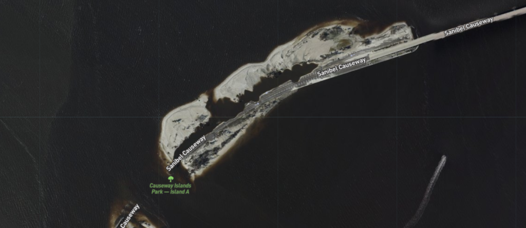
If you are interested in looking at “after” images of coastal areas after Hurricane Ian’s passage to see what damage occurred at particular properties, you can go here to view images taken from NOAA aircraft. By zooming in and out you can focus on particular locations. There should be imagery available for multiple coastal areas, although I am not sure if the Carolina ones have been added yet. The image of part of the Sanibel Causeway below was taken from that website.
