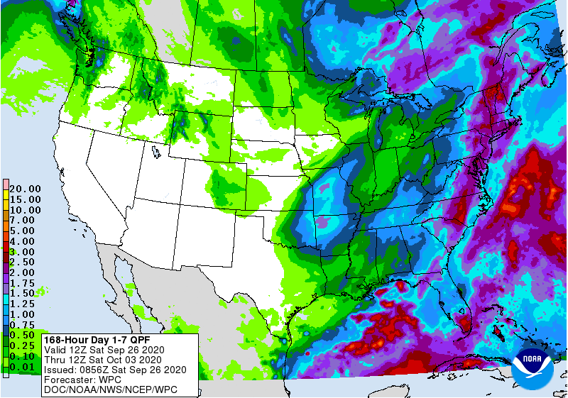
A strong cold front will move through the region early next week, bringing some rain and much cooler temperatures to the area after the front passes. The end of the week should be dry for most areas as the colder air settles into place. The coolest mornings are expected to be Friday October 2 and Saturday October 3, with some areas in the higher elevations and more northern latitudes dropping into the upper 30s. I don’t see any evidence of a widespread frost event but a few frost pockets could get down to freezing. Temperatures should start to rise again by the end of the weekend. The tropics will be quiet this week but there are some signs of increased activity by week 2 in the Gulf of Mexico, so we are probably not done with the tropical season yet.