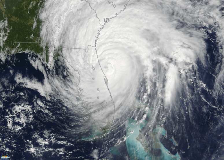
The latest hurricane forecast for the 2018 Atlantic hurricane season from Colorado State University was released this week. In this latest forecast they have reduced their expected number of storms due to the cold temperatures in the source area in the eastern equatorial Atlantic Ocean and the developing El Niño in the Pacific Ocean. Their forecast for US landfalling hurricanes is listed below. For more information on the factors leading to their revised forecast visit https://tropical.colostate.edu/media/sites/111/2018/07/2018-07.pdf.
PROBABILITIES FOR AT LEAST ONE MAJOR (CATEGORY 3-4-5) HURRICANE
LANDFALL ON EACH OF THE FOLLOWING COASTAL AREAS:
1) Entire U.S. coastline – 39% (average for last century is 52%)
2) U.S. East Coast Including Peninsula Florida – 22% (average for last century is
31%)
3) Gulf Coast from the Florida Panhandle westward to Brownsville – 21% (average
for last century is 30%)