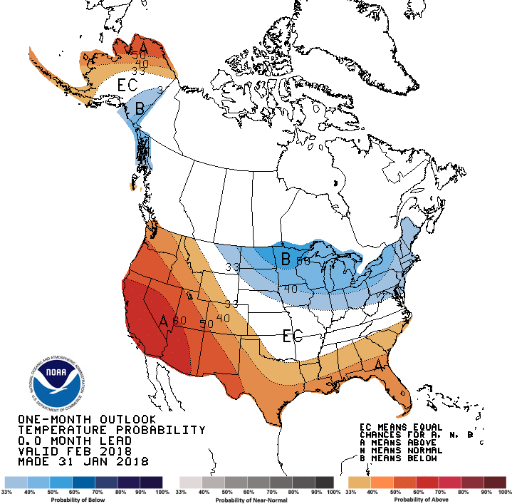
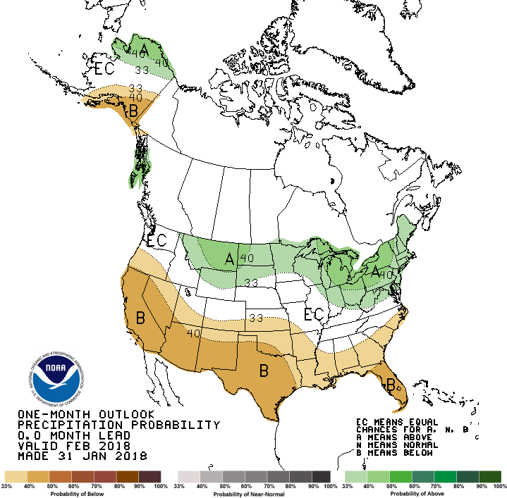
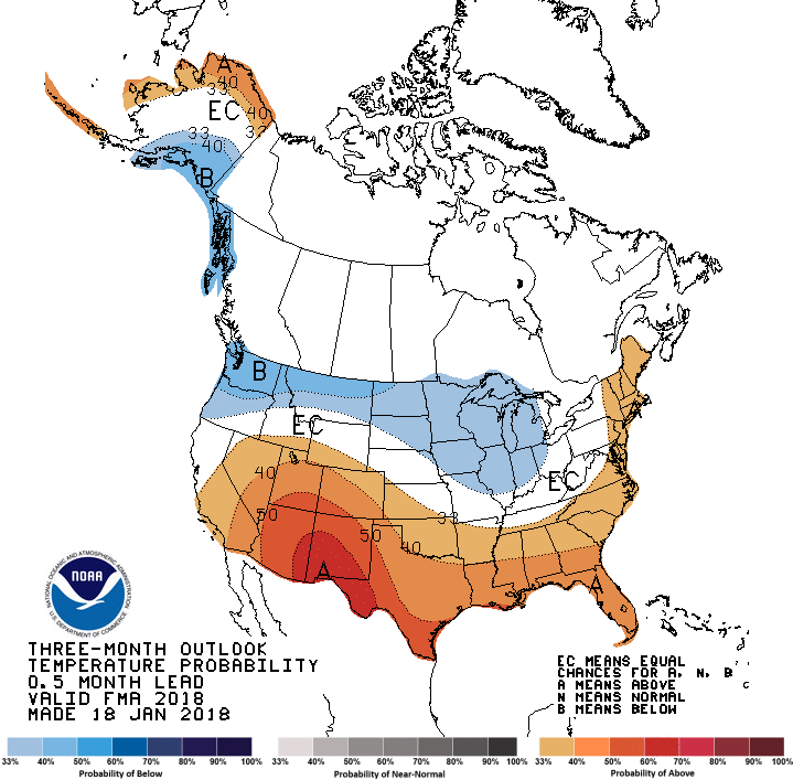
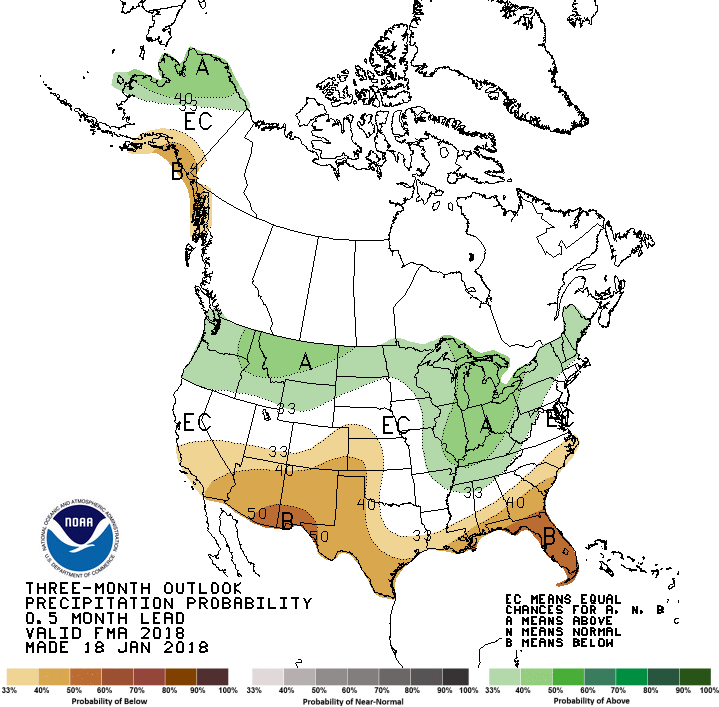
The latest outlook from the Climate Prediction Center shows that February and February through April has a continuation of the expected weak La Niña pattern across the Southeast. That means that Florida and southern Georgia and Alabama are most likely to be warmer and drier than normal. Other areas of the Southeast have equal chances of above, near or below normal weather in the next few months. Keep in mind that these are statistical forecasts based on past La Niña events, and since every event is different, sometimes you follow the probabilities and sometimes you don’t. The long-rage weather forecasts for the next few weeks do indicate that more cold outbreaks are coming to the eastern US but it is not clear how far south they will get at this point. Seasonal rainfall in the next week should keep drought from getting stronger and we could see some slight improvements, at least on the short term.