The storm that brought snow and wintry conditions to some parts of the Southeast has moved up the East Coast and is still hitting DC and New York as I write this, but we should see some respite this weekend after the lingering flurries end.
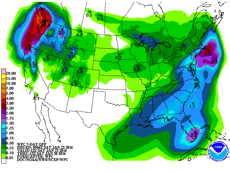
The next storm system should move through the Southeast starting on Monday evening as a slow-moving cold front. It will bring mostly rain to the area, with the possible exception of some wintry conditions along the Carolina coasts late Thursday as a secondary low develops and wraps up as it moves north along the Atlantic Coast. But that is far away timewise, so forecasts are likely to change.