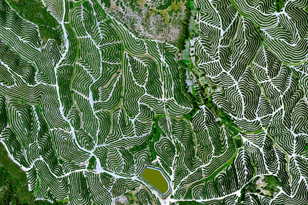
As a confirmed map and photo geek, I love to look at maps and pictures that show spatial arrangements of land surfaces, both natural and manmade.
This week I ran across the Daily Overview site from the International Business Times, which shows a variety of aerial photos that depict human land uses across the world, including a number that show agricultural production. You can visit it here and sign up for a daily image on Facebook or other social media.