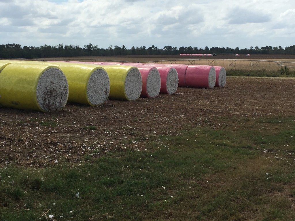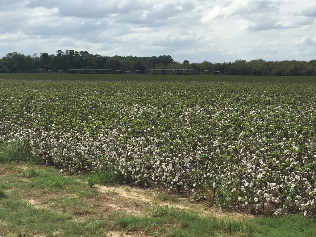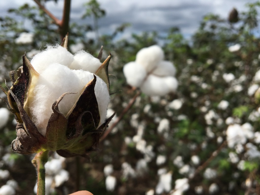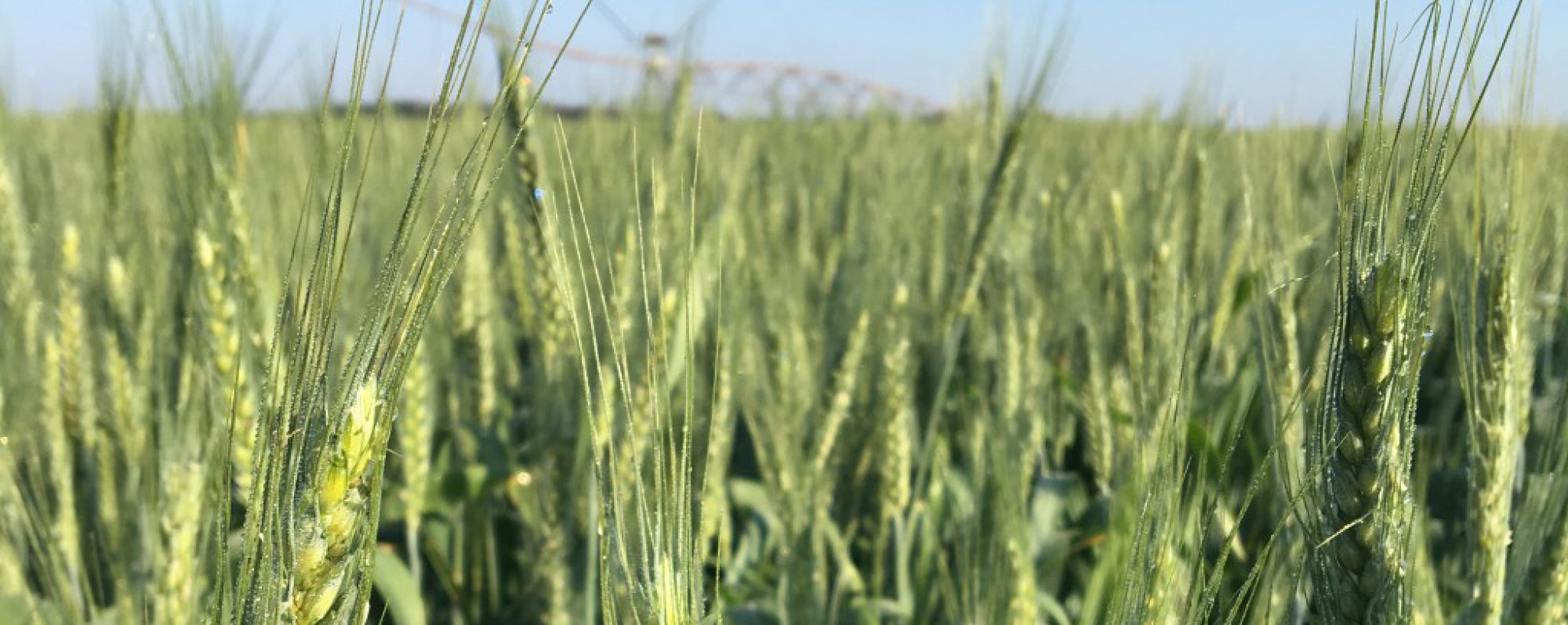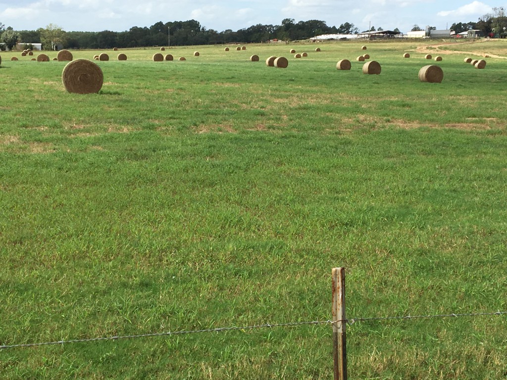
Growers are in the field trying to get what they can. We’ve been picking peanuts hard this last week and a half in Wilcox County thanks to a little rain 2 weeks back. I really think we’ve got all of the early planted peanuts out of the ground and picked. The only peanuts i’m seeing in the ground now were those planted after June. We’ve also been defoliating cotton and some was already picked last week. We actually have a good bit of cotton picked and stalks already mowed. Still a lot left. We’ve also been baling our last hay cutting. Looking at a map from UGA Extension Climatologist Pam Knox, it looks like 85% chance Wilcox will see equal to or greater than 34 knot wind speed (which is about 39mph wind). Here is an update from Pam Knox:
Follow the guidance of the National Hurricane Center at https://www.nhc.noaa.gov and your local National Weather Service forecast office for information on local conditions. I will also retweet information at @SE_AgClimate and repost on Facebook at SEAgClimate as I am able. Because of the speed of the storm and our relatively dry conditions, flooding rain is not going to be the primary impact, although some flooding in low-lying areas could occur and some places may get up to six inches. The biggest impact is going to be from winds that could be over 75 mph, causing a lot of damage to crops, trees, and power lines. Isolated tornadoes could also occur. The biggest impacts are going to be along and to the east of the path the center of the storm takes, but since that is not yet known, most of the state should be prepared just in case.
The storm should start to affect southwest Georgia as soon as Tuesday night, so preparations should be started now and finished sunset on Tuesday if possible, especially if you are in SW Georgia.
- Move equipment and animals out of low-lying areas and into sheltered locations to protect from wind and flood damage.
- If you have crops that are ready to harvest which could be affected by the winds, such as cotton, consider trying to harvest them before the winds hit. If you have hay drying, try to get it baled before the rain and wind hit.
- If you need power for drying, milking or other activities, make sure your generators are prepared for a power outage that could last up to several days. When Hurricane Hermine hit Tallahassee in 2016, it caused widespread power outages even though it was weaker than Michael is projected to be.
Here is an update from UGA Extension Pathologist Dr. Bob Kemerait:
Like they say, “no rest for the weary.” It looked like we were going to be able to get out of this with fairly dry weather and then here comes the potential for a tropical storm. If the path of the storm continues, it should hit sometime late on Wednesday and affect us through Thursday with wind and rain and, depending on how much rain we get, could keep growers out of the field for some period of a day or so to longer.
There is the obvious damage that wind and rain will bring, especially to the cotton crop- lodging cotton and putting lint on the ground. For cotton not yet ready to pick, the weather could increase boll rot, though there is really nothing we can do about that.
For peanuts, the question is timing of digging. It is my opinion that if the vines and pegs are healthy and not too much defoliation from leaf spot or damage from white mold is present, then it is better to leave the peanuts in the ground and to dig them after the storm passes.
If the peanuts are severely affected by leaf spot disease (significant defoliation) or disease (white mold) and the potential for yield loss is severe if they must stay in the ground into next week, then I would consider digging them.
If the crop is already behind in being dug (past harvest maturity) or the soil is “heavy” and digging may be delayed considerably, then I would also think about digging them.
Where peanuts are two or more weeks away from projected digging date, growers should consider whether a final fungicide application for management of leaf spot is needed.
