Rather than write an update about Matthew myself, I am going to defer to the exhaustive discussion on Matthew provided by Jeff Masters in the Weather Underground blog here. Needless to say, this is probably going to be one of the defining weather moments of 2016 and for some people, for their lifetimes.
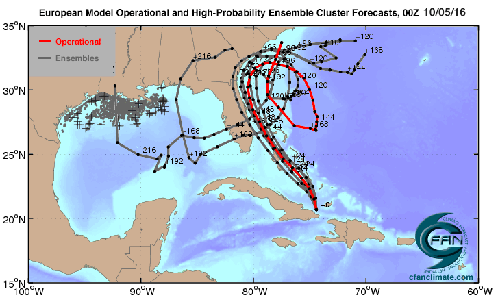
One of the craziest things to come out of last night’s model runs was the possibility that Matthew could go through a loop and come at the coast a second time in a few days. Or even cross Florida and move into the Gulf of Mexico, which is tremendously warm right now at the end of summer. By now more model runs have occurred so this map is already out of date, but it gives you an idea of the tremendous work that the hurricane forecasters are having to do and what they are having to think about.