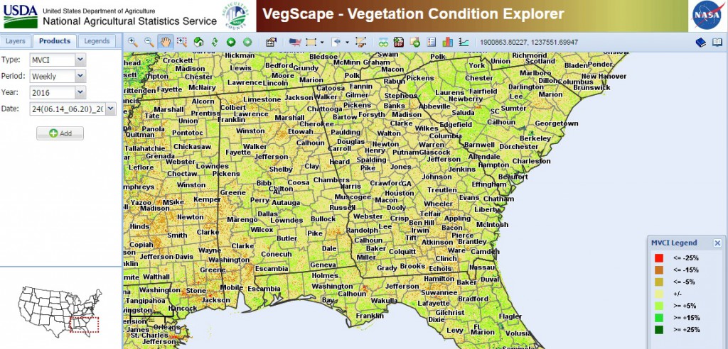
The US Climate Resilience Toolkit has a useful tool looking at vegetation health. It is called VegScape and it looks at the condition of vegetation across the US on a zoomable map derived from satellite data. You can read about it and find a link to the tool at https://toolkit.climate.gov/tool/vegscape%E2%80%94vegetation-condition-explorer. It is a little hard to understand when you are just playing around with it, though, so you might have to read the documentation more than some tools. Because of its fine scale, you can see differences in vegetation condition across counties, which can be helpful in assessing local conditions.