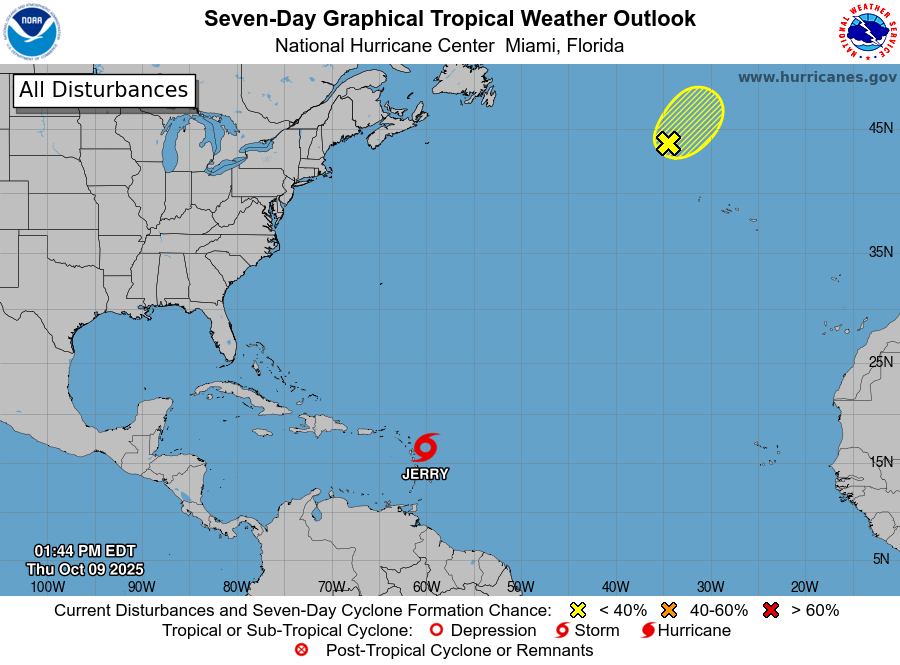
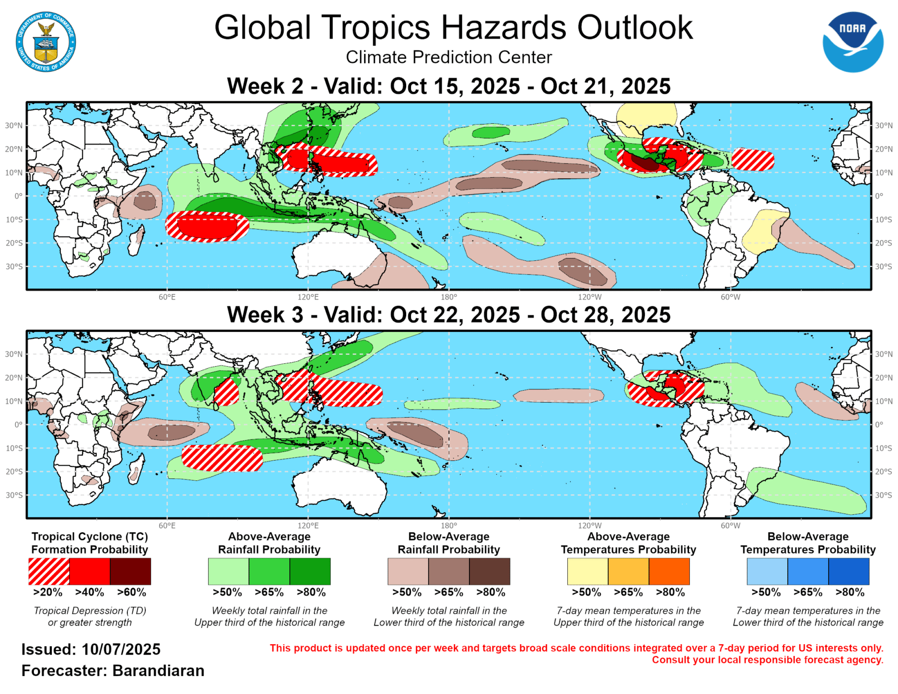
The latest 7-day Atlantic outlook shows Tropical Storm Jerry in the Atlantic Ocean. It is currently headed towards the northwest but is expected to curve soon and should stay far from the East Coast, although there could be some impacts from high surf there. Another area of 10% chance is currently showing in the northern Atlantic, showing a small potential for development along a front in the area. A bigger issue not shown on the tropical map is the development of a coastal low off the coast of the Carolinas this weekend that may bring a lot of wind and some rain to that region, although it should not affect areas in Georgia or to south and west of there. This is the 4th storm that has affected coastal areas of North Carolina and the beaches there have taken quite a hit. Meanwhile, the 2 and 3 week outlooks from the Climate Prediction Center still show the potential for development in the southern Gulf and western Caribbean, so the tropical season is not over yet.