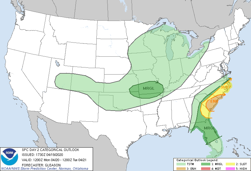
By the time this post comes out on email at 4 am on Monday morning, the last line of strong storms should be moving through southeast Georgia. By the time most of you read it sometime after 8 am, the severe weather should be almost done for our state, although there will still be a chance in the coastal counties. We were fortunate on Sunday that the warm front stayed far south in Georgia instead of moving northward as much as predicted. This is because the significant amount of rain (Butler had 6.31 inches as of 11 pm when I am writing this, and a band of over 3 inches stretched across central Georgia), caused evaporative cooling of the air and helped block the warm front from moving north. That reduced the development of large supercell thunderstorms in the warm air, although there were still some tornado and severe thunderstorm warnings for storms that developed near the front, and I saw a couple of pictures of small hail on Twitter. The severe weather that likely developed in the line of strong storms overnight were more likely to produce straight-line wind damage, although small tornadoes can also occur along the line. It would not surprise me to hear that a lot of trees were knocked over because of the saturated soil combined with strong wind gusts.
Enjoy your Monday and I hope you all stayed safe and dry. There may be another chance of severe weather later this week–I’ll keep you posted.