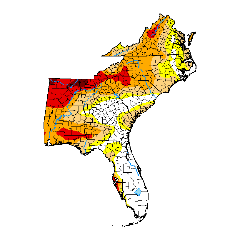
The latest Drought Monitor, released a day early on Wednesday because of the holiday, shows slight increases in drought in some areas while other areas saw limited relief. The Tuesday cutoff date meant that most of the rain we got in the last couple of days occurred after the cutoff–this means it is likely we will see more slight improvements next week in the areas that were the driest. Puerto Rico had no change from last week. Rain across most of the region will be fairly limited in the next week, so any improvements we see in next week’s map will most likely be due to the rain that fell this past week than any new rainfall, which is likely to be light. The rain we did receive provided much-needed moisture for pastures and small grains, but we will need to see more frequent rains to keep those improvements going.