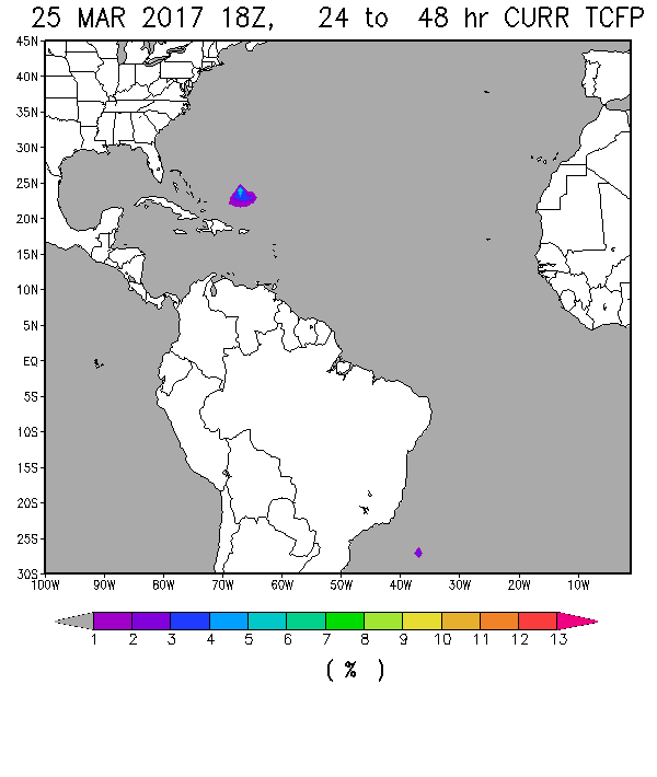
While the National Hurricane Center’s web site indicates no tropical storm development in the next five days, there are signs in several of the computer forecast models that something tropical may be brewing in the Atlantic Ocean off the East Coast. If the forecasts are accurate, then we could see the first tropical-type storm of the year spinning off the Bahamas by early in the week. You can read a discussion of this at the Post and Courier here.
However, the storm is not likely to develop the winds it needs to be an officially named storm, and since it will be moving off to the northeast away from land, the biggest impacts are likely to be some high surf on the Carolina coasts. Last year Alex surprised us, coming in January, so this would not be the earliest tropical storm in history. It’s also important to note that temperatures in the Gulf of Mexico, particularly in the western Gulf, are at record high temperatures, which could enhance the development of severe weather in the Plains this spring as well as possibly give an early boost to the Atlantic tropical season while neutral conditions are still in place, so keep watching–tropical season may not be as far off as you think!