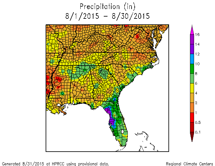
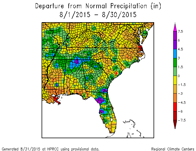
It’s almost the end of the month, so let’s take a look at how the month is trending in temperature and precipitation. These preliminary maps from the High Plains Regional Climate Center show that temperature was above normal for most of the Southeast with the exception of peninsular Florida and northern Alabama. Precipitation varied quite a bit across the region, with some areas much above normal and other areas quite dry.
In general the coolest areas corresponded to the areas with the highest rainfall. This is not surprising, since rainy areas are usually also cloudy. Plus, in dry areas all of the sun’s energy goes into heating the ground rather than evaporating water. Drought expanded in the areas with the lowest rainfall during the month.