The content on this page is retained only for recordkeeping, historical reference, or research. These materials are preserved in their original form and may not meet current WCAG 2.1 AA accessibility standards.
These archived materials are not required to be remediated. However, we remain committed to equitable access. If you need an accessible version of any archived item to participate in our current programs and services, we will provide one when feasible upon request at caesweb@uga.edu.
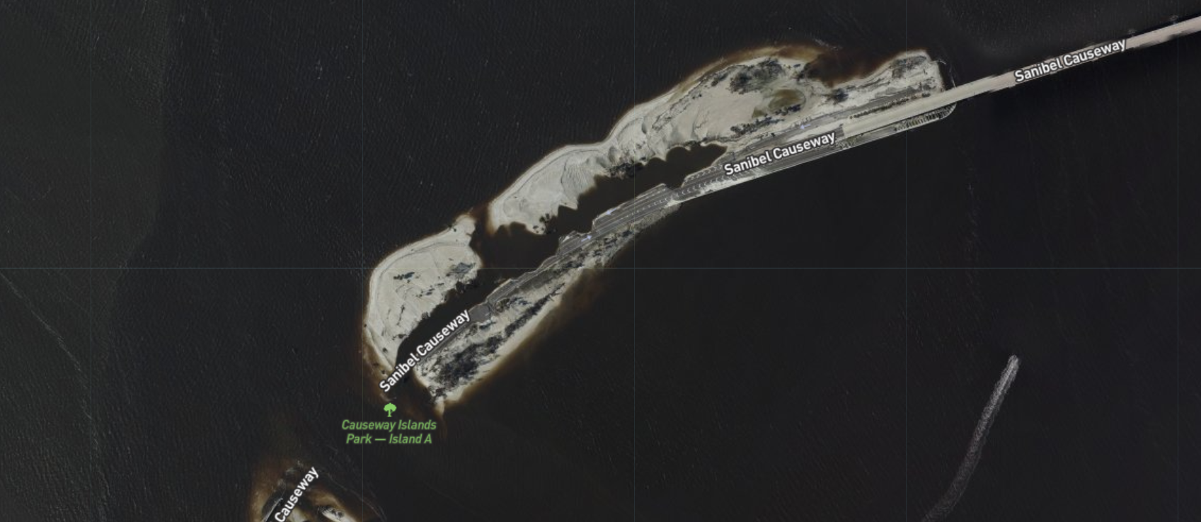
If you are interested in looking at “after” images of coastal areas after Hurricane Ian’s passage to see what damage occurred at particular properties, you can go here to view images taken from NOAA aircraft. By zooming in and out you can focus on particular locations. There should be imagery available for multiple coastal areas, although I am not sure if the Carolina ones have been added yet. The image of part of the Sanibel Causeway below was taken from that website.