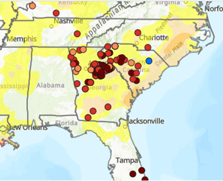
A few weeks ago, I wrote about how extension agents and agricultural producers in the Southeast can file reports on local conditions, including both droughts and floods. This hyper-local information is used by the weekly authors of the U. S. Drought Monitor to draw updated maps of drought conditions across the country. I took a look at the map of reports today and was pleased to note that there are many dots on the map to show where reports are coming from. Georgia and South Carolina are doing an especially great job of getting reports into the hands of the DM authors. I heard from one of the authors this week that they definitely notice these nuggets of information and thank everyone who has submitted a report. This week the depiction of drought expanded across a lot of the region with help from what you reported. Let’s keep them coming! If you would like to submit one from anywhere in the Southeast (or elsewhere in the country, for that matter), the link below tells you how to do it.
How to report dry conditions | Climate and Agriculture in the Southeast (uga.edu)