On August 3, Hurricane Isaias made landfall near Wilmington NC just before midnight. This is the earliest “I” storm we have ever observed, which shows you how active the Atlantic hurricane season has been so far this year. Climatologically, we are not even near the peak of hurricane season yet—that usually comes between mid-August and the end of October. So we are likely to see several more tropical systems occur before this season is done, although no one can predict where they will go or if they will make landfall or stay out to sea. Fortunately, the only other potential storm on the horizon at the moment looks weak and if it develops, is expected to stay out in the Atlantic away from land.
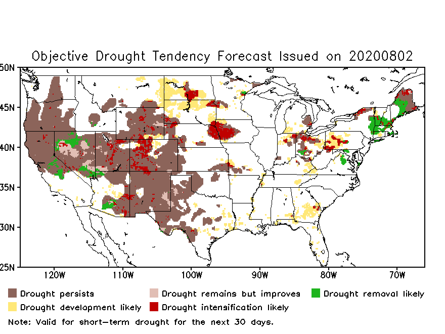
Partly because of the active tropical season, rainfall is expected to be higher than normal for the next three months across the Southeast. Temperatures are also expected to be warmer than normal due to the long-term trend towards higher temperatures over time. A lot of that warmth will be at night due to higher humidity levels. Over the next month, the wetter conditions will be mainly in the form of scattered rain showers almost every day, with accumulations over the next couple of weeks of 2-4 inches in some areas. This is predicted to continue through the end of August, although there will be some dry periods and locations. This is welcome news for producers because of the abnormally dry conditions that have developed over the last month as shown by the US Drought Monitor and NOAA flash drought indicators.
Looking farther ahead, we are now in a La Nina watch, which means that colder than normal conditions are now being observed in the Eastern Pacific Ocean and are expected to remain for several months. Late fall and winter in the Southeast during La Nina years are often warmer and drier than normal due to a shift in the location of the subtropical jet and associated storm track, which normally brings rain to southern Georgia and Alabama and northern Florida. This La NIna is not expected to be a strong one, so by spring it is likely to be back to neutral conditions. La Nina winters are an indicator that the next growing season could develop drought more quickly due to the lack of soil moisture recharge over the winter, so that is something we will have to watch down the road.
