We’ve had an early start to the 2020 Atlantic tropical season, with two named storms before the season even officially started. There is a 50 percent chance of a third storm developing in the Atlantic in the next 48 hours. This has never happened before in the records we have for hurricanes going back to 1851, although the earlier years are probably less accurate because that was well before the satellite era. At the same time, hurricane forecasters are watching a gyre of low pressure in the Pacific Ocean off the coast of Central America which is moving east and could form a tropical storm in either the Pacific or Atlantic. You can read about these storm possibilities at MSNBC here.
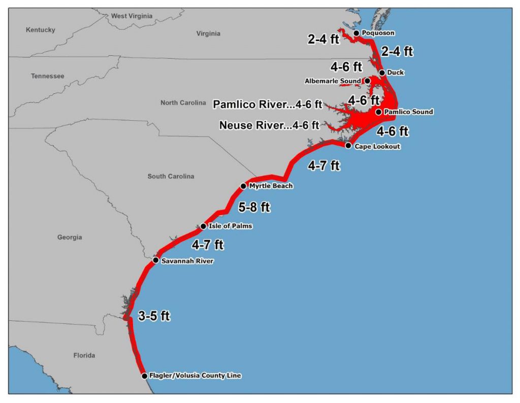
A separate story noted that “forecasters at the National Hurricane Center are making two key changes to their visual explanations of hurricane risk this year: a new map better outlining the threat of hurricane storm surges, and the addition of another time interval for basic hurricane forecast maps.” This should improve the ability of emergency managers to estimate the need for evacuations farther ahead than they have in the past, which might be critically needed in this era of self-isolating due to COVID-19. You can read more at NOLA.com here.
