A new study by Michigan State University scientists looked at the variability in yield across different fields by comparing soil types, weather, crop variety, and many other factors with data collected using drones and satellite technology to get a detailed picture of why there was so much variation from year to year and even across fields. They found that “the interaction between topography, weather and soil has an immense impact on how crop fields respond to extreme weather in unstable areas. Terrain variations, such as depressions, summits and slopes, create localized areas where water stands or runs off. Roughly two-thirds of unstable zones occur in these summits and depressions and the terrain controls water stress experienced by crops.: Probably not a big surprise to farmers who actually work the land, but quantified in more detail using the additional data supplied by remote technologies and studied in more detail using machine learning techniques.
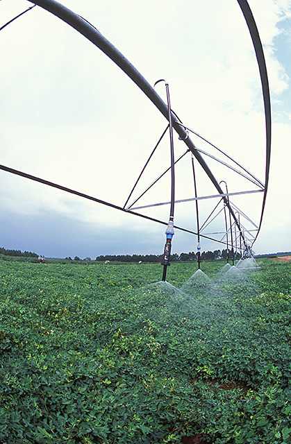
The study shows that using spatially variable irrigation and other smart technologies can improve yields by recognizing the in-field variations that affect yields and responding to them by changing inputs. You can read more about the study here or go to the original report at https://www.nature.com/articles/s41598-020-59494-2) .