Proxy data are measurements from things like tree rings that contain a time series of changes documenting variations in weather or climate at a specific location. These data, which include ice cores, ocean sediments, and pollen from bogs, can tell us how the climate changed over a long period of time, which eventually will help us understand our current climate and how it might change in the future. National Geographic recently published an article looking at sediments in blue holes in the Caribbean, which the scientists involved in the cited study relate to the frequeny of major hurricanes which passed near the blue holes.
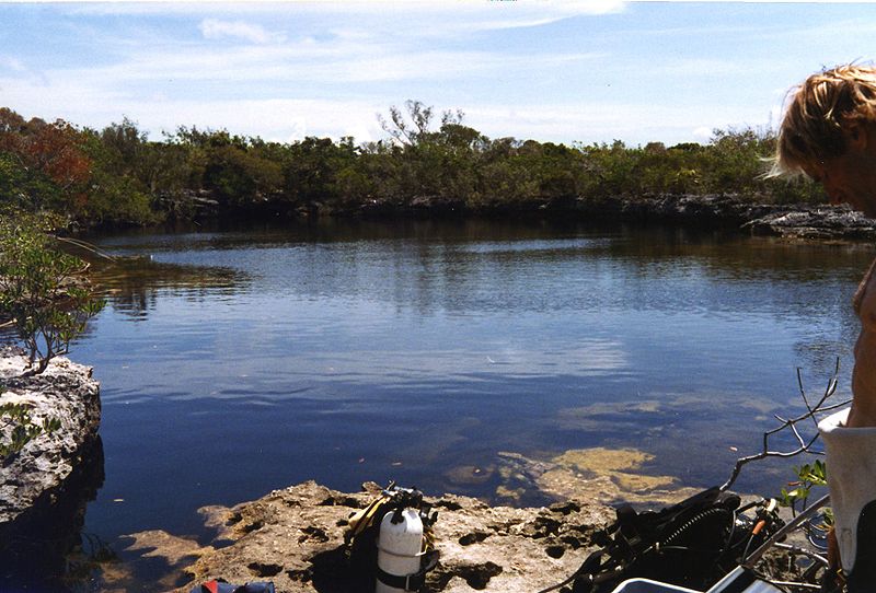
Blue holes are shallow submarine sinkholes which provide a calm place for sediments disturbed by the storm to settle down. They tend to be low in oxygen, which helps maintain the layers because sea worms and other bottom dwellers are less likely to stir them up. The longest core they have gotten so far goes back almost 1,500 years, and shows a lot of variation in hurricane frequency over time. You can read more about how they get the cores and what the data show here.