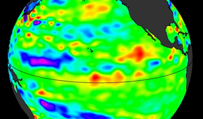
According to the latest NOAA ENSO advisory, La Niña is now gone from the eastern Pacific Ocean and we have returned to neutral conditions. While we are technically in neutral conditions, La Niña-like patterns could continue for a few months as the ocean equilibrates. That may mean drier than normal weather in the Southeast for May and June, although forecasters are watching tropical rainfall move north in the region which could help dry conditions in the next week or so. Neutral conditions are expected to last through fall, with a 50% chance of El Niño by next winter. You can read more using the links below:
ENSO Diagnostic Discussion: https://www.cpc.ncep.noaa.gov/products/analysis_monitoring/enso_advisory/ensodisc.shtml
NOAA ENSO blog: https://www.climate.gov/news-features/blogs/enso/may-2018-enso-update-thar-she-goes (link currently not working but should be back soon)
Weather Underground: https://www.wunderground.com/cat6/la-nia-gone-severe-weather-late-spring-mode