The content on this page is retained only for recordkeeping, historical reference, or research. These materials are preserved in their original form and may not meet current WCAG 2.1 AA accessibility standards.
These archived materials are not required to be remediated. However, we remain committed to equitable access. If you need an accessible version of any archived item to participate in our current programs and services, we will provide one when feasible upon request at caesweb@uga.edu.
As a confirmed map and photo geek, I love to look at maps and pictures that show spatial arrangements of land surfaces, both natural and manmade.
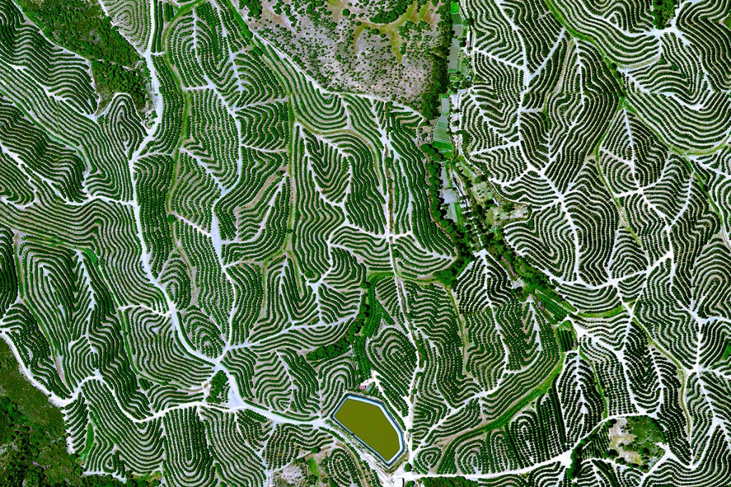
This week I ran across the Daily Overview site from the International Business Times, which shows a variety of aerial photos that depict human land uses across the world, including a number that show agricultural production. You can visit it here and sign up for a daily image on Facebook or other social media.
Source: Daily Overview / Satellite Images Digital Globe Inc.